 When CTH outlined the connection between DHS and Twitter in Jack’s Magic Coffee shop, many people thought it was nuts.
In the year since, DHS and FBI have been evidenced to have direct access to Twitter content controls, up to and including access code in the Twitter algorithm itself. Not so crazy anymore.
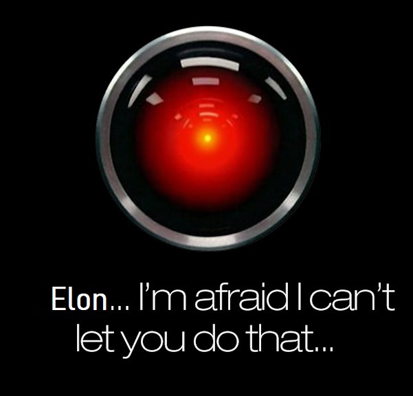
When Elon Musk bought Twitter, CTH warned to refrain from forming opinion of the takeover because of the DHS network with it. Either Musk did due diligence in the purchase and was aware of DHS attachment, or Musk didn’t know of the scale of DHS involvement. Both possibilities painted a rather odd perspective of the Musk motive.
The latest development upon the new Twitter platform, includes Twitter no longer permitting Substack authors to promote their articles. “Twitter is now blocking likes, retweets, and comments on tweets that include a link to a Substack newsletter. In addition, Twitter users cannot pin a tweet that includes a Substack link to their profile.” Apparently, Twitter views the growth of Substack as a business threat.
Unfortunately, that leaves a Substack author like Matt Taibbi in a tough position; especially because he is one of the lead independent journalists highlighting the findings within a review of Twitter’s prior corporate correspondence and networking with DHS officials, also known as “the Twitter files.” As a result, Taibbi was forced to choose between Twitter and Substack. His decision, below:

 Please share your best and favorite recipes for Easter dinner and treats for kiddies, even the big ones!
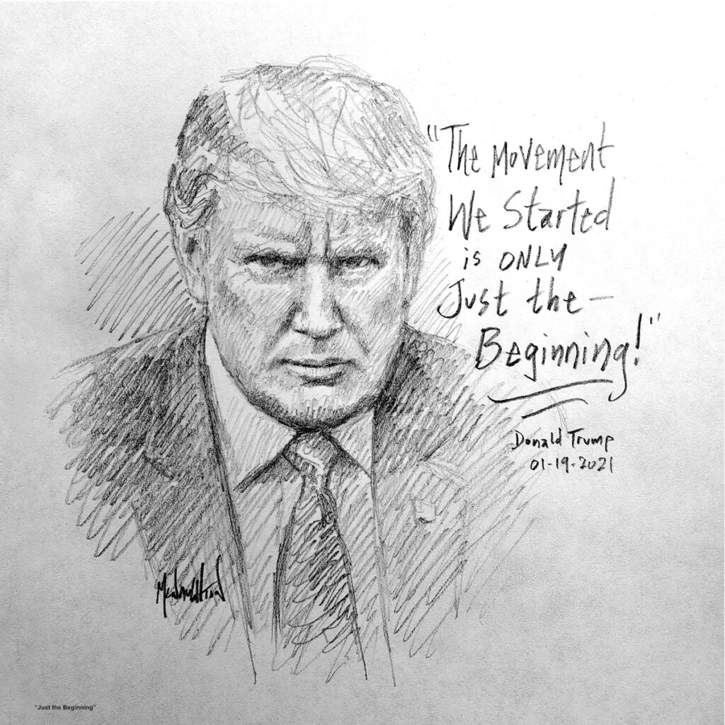 “This is no small thing, to restore a republic after it has fallen into corruption. I have studied history for years and I cannot recall it ever happening. It may be that our task is impossible. Yet, if we do not try then how will we know it can’t be done? And if we do not try, it most certainly won’t be done. The Founders’ Republic, and the larger war for western civilization, will be lost.”